Buoyant Cartographies
Alternative Mapping Practices of the Detroit River

Detroit Shoreline and U.S. boat tour


August 30, 2018

Justin Langlois and Holly Schmit (Float School)

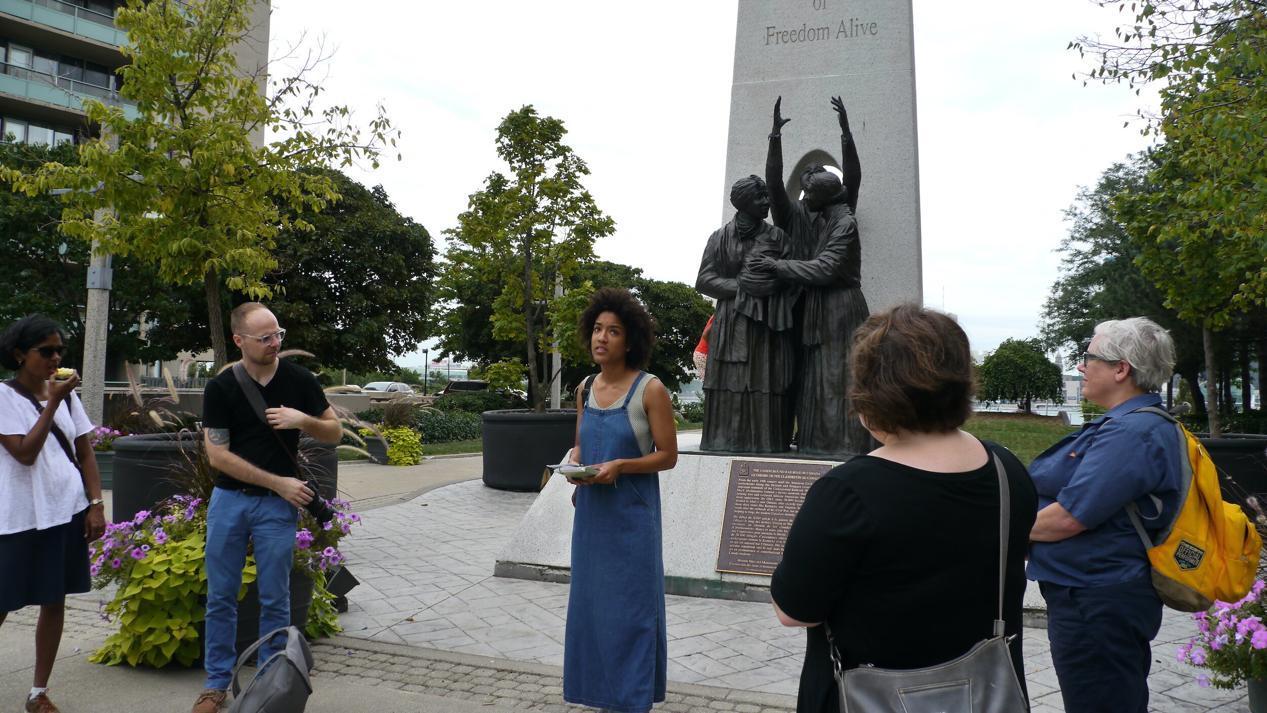
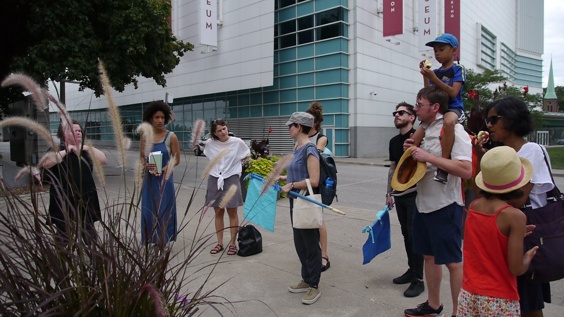
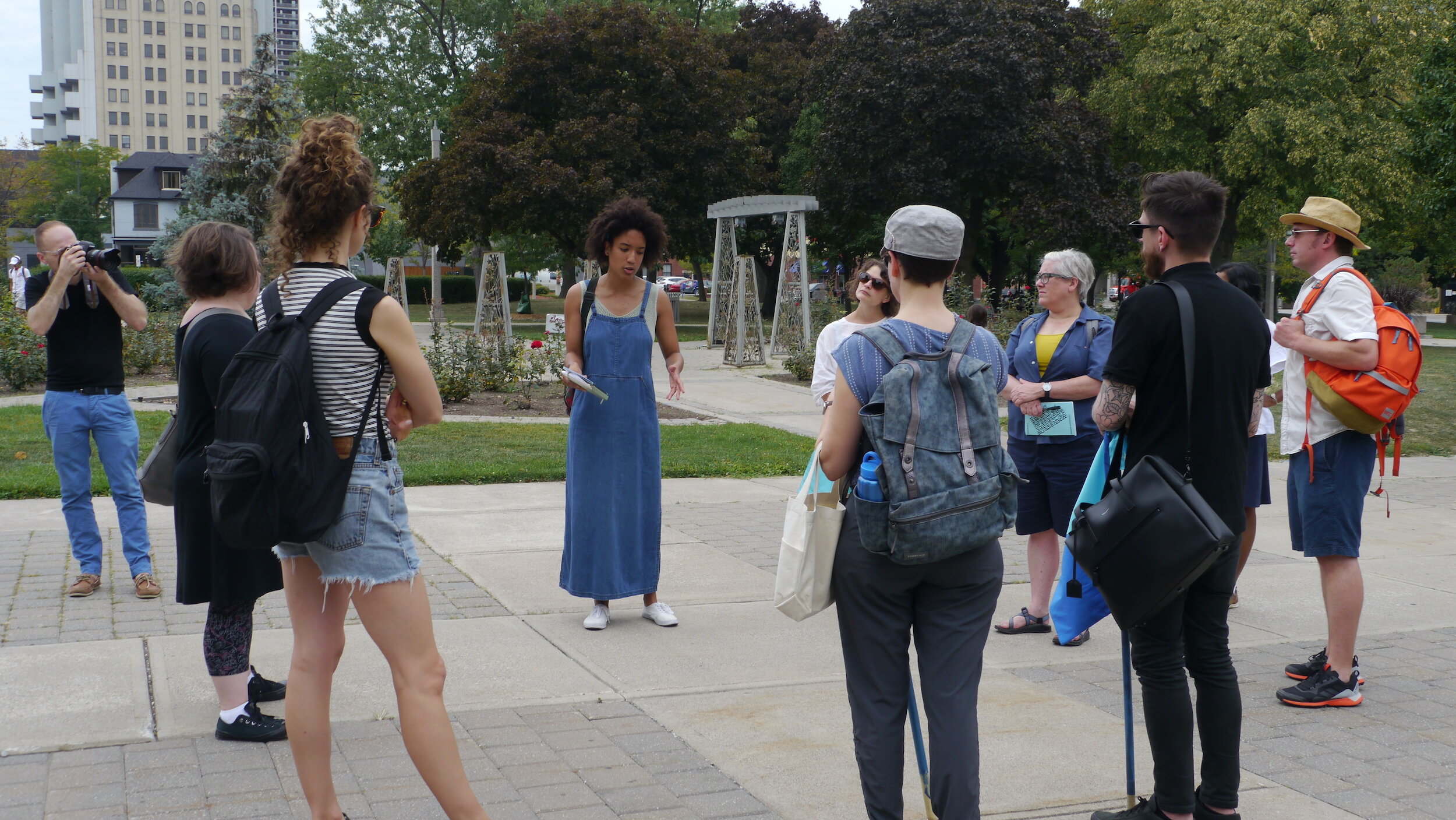
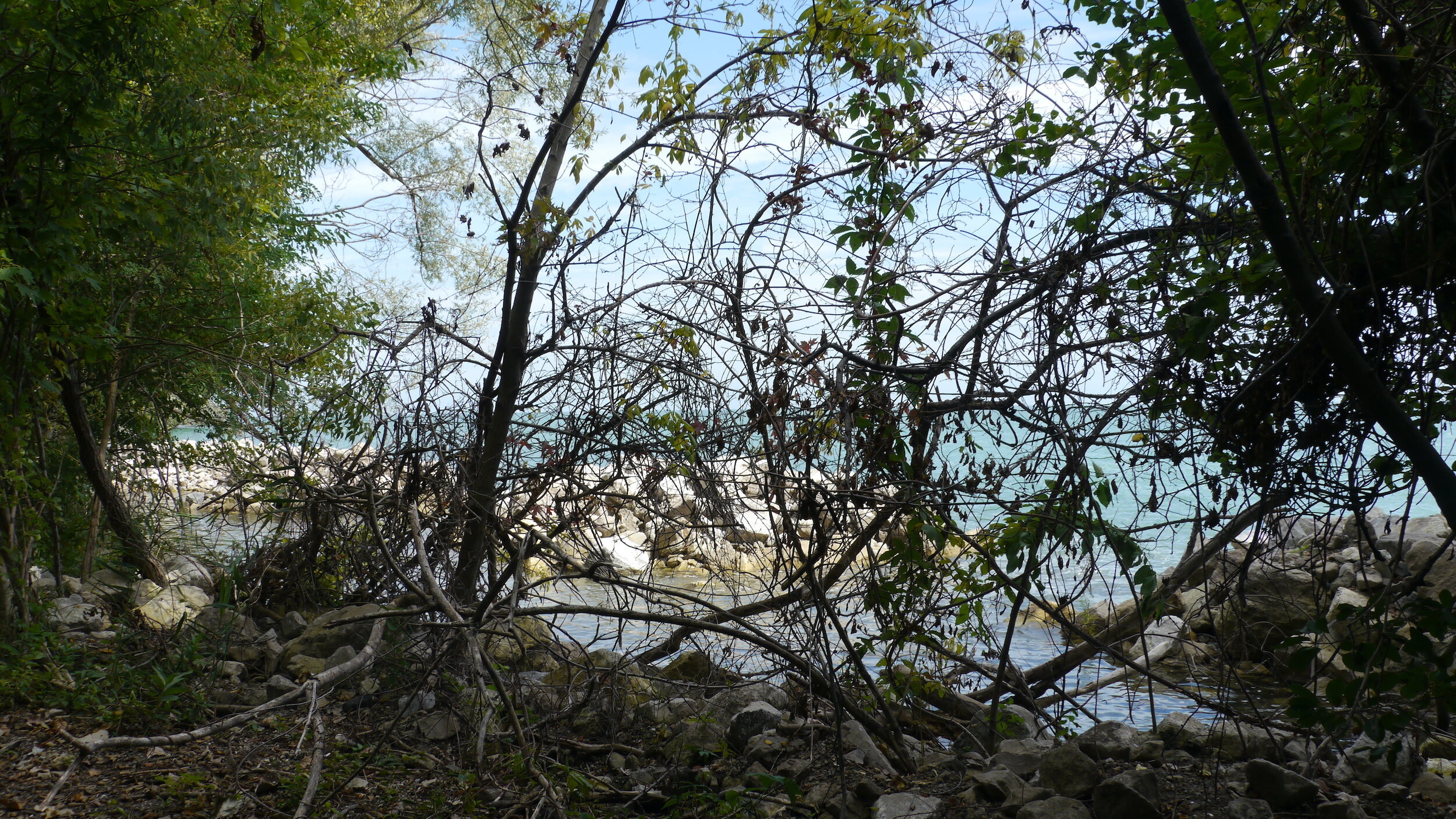
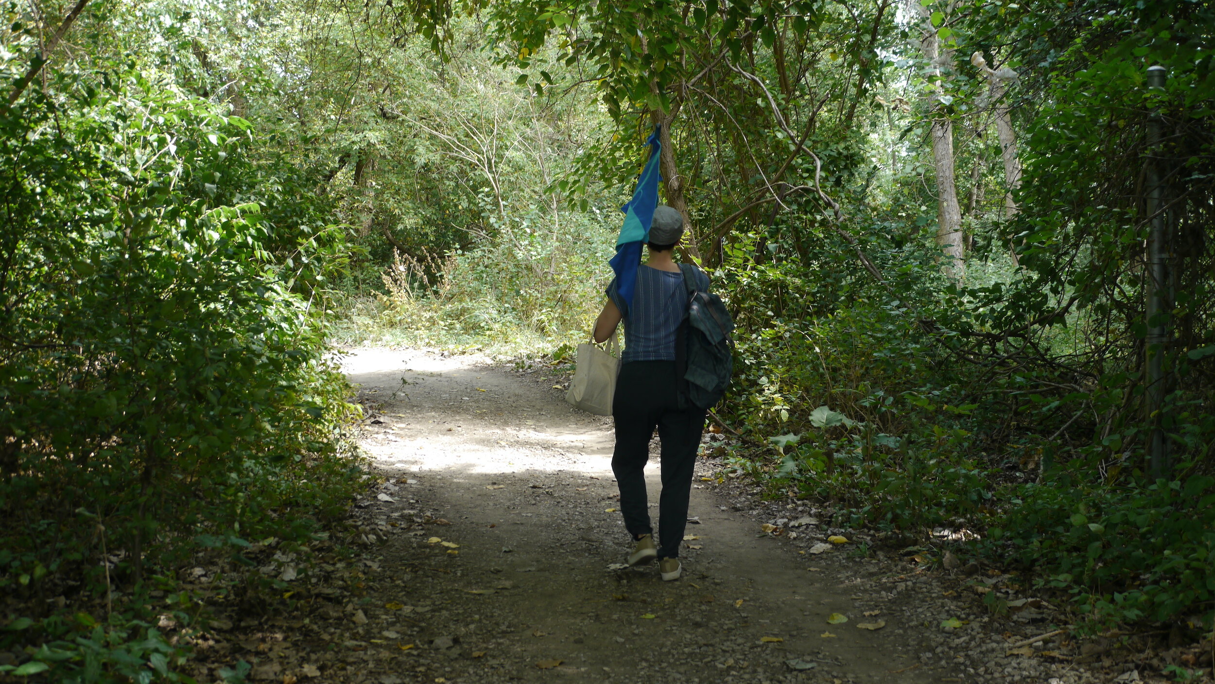
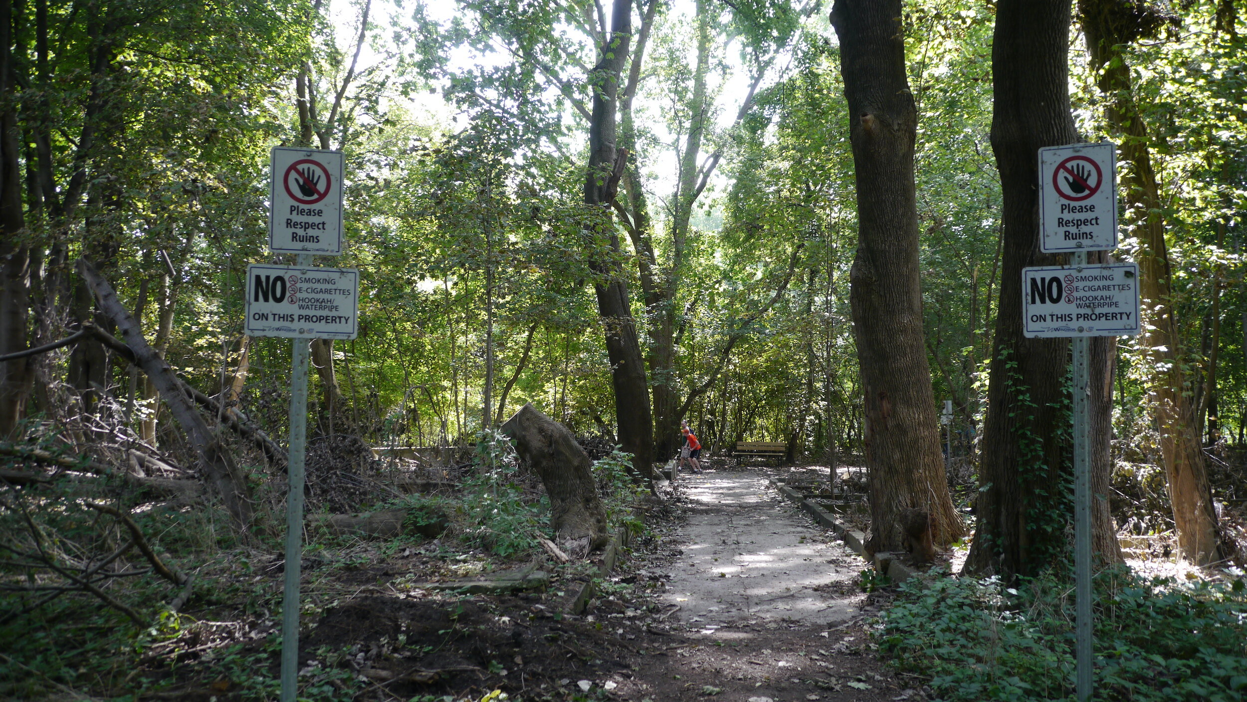
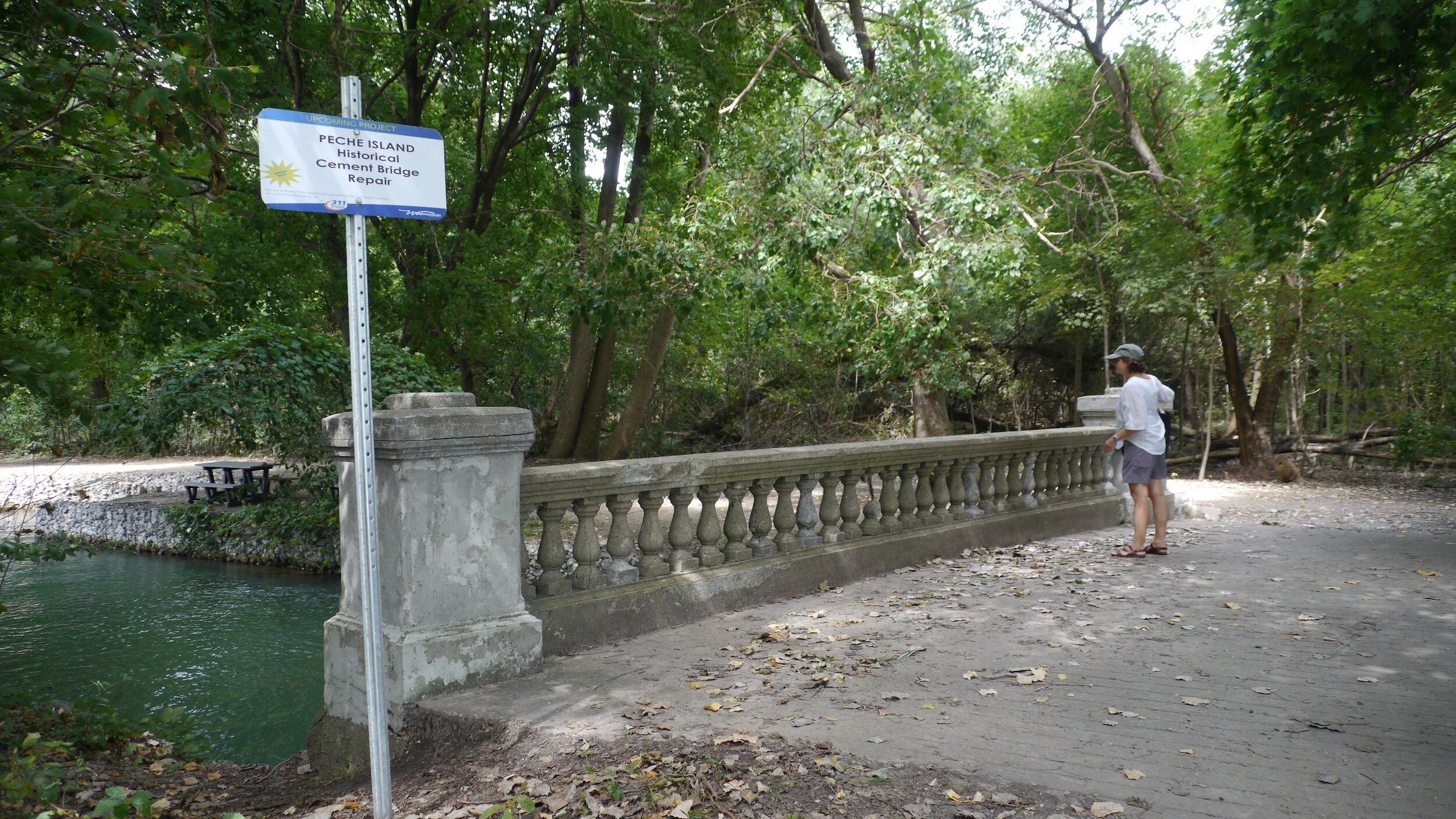
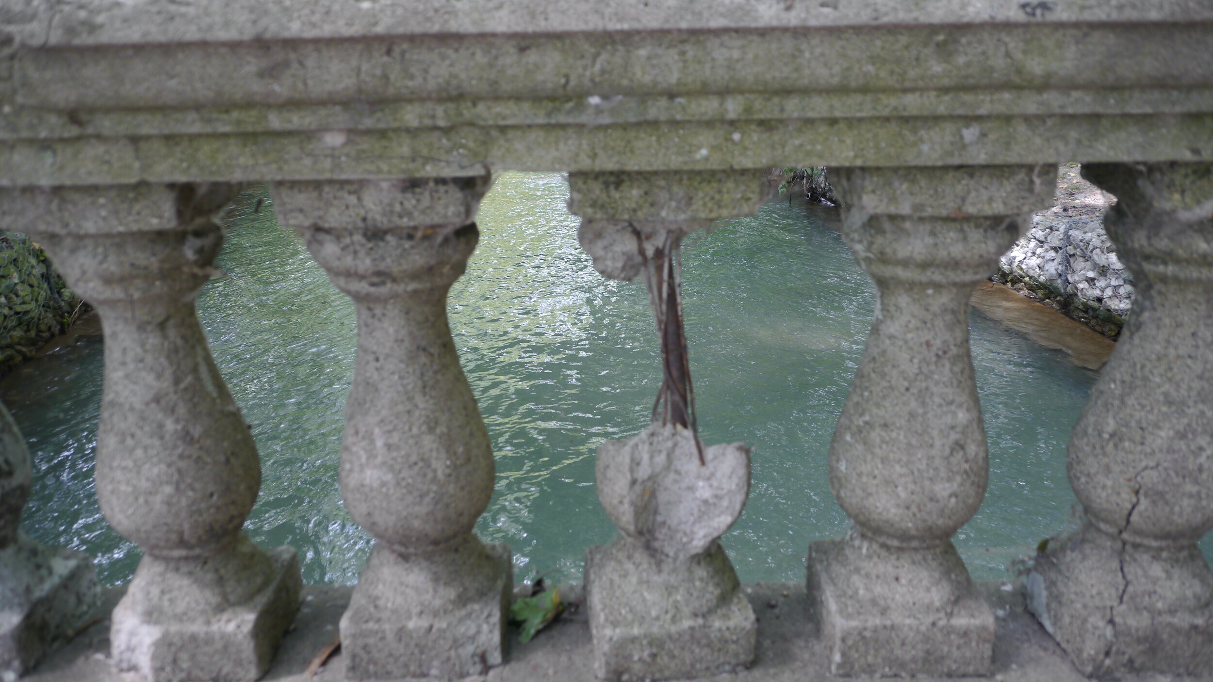
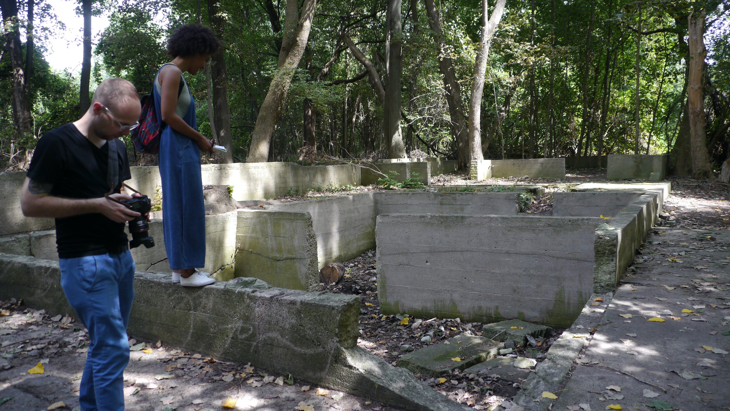
Our first walk was led by Vancouver-based artists Justin Langlois and Holly Schmit who collaborate as Float School/Living Labs. Their walk set the stage for the weekend by encouraging us to interrogate the public narratives established in the Detroit RiverWalk and to suggest some of the ways in which tourist spaces might productively engage legacies of industrial pollution which are apparent on the River. This walk brought us to the Diamond River Queen, an aging tourist boat and river tour, which is the only legal way to get a large number of people to view the Detroit River from its center due to border security regulations. This excursion focused on the discrepancy between the tourist narrative of the Diamond River Queen which passed by the many allotments of back-yard mansions of the wealthy in Grosse Point, Michigan before turning downriver towards the Ambassador Bridge and the heavily industrial corridor of Zug Island on the US side and Windsor Salt on the Canadian side. The industrial end was of interest to our group as this is where there is a trans-border geological axis that connects the salt mines (that run beneath the River), as well as the freshwater springs that were 19th-century sites of leisure around Brighton Beach (on the Canadian side) and Springwells (on the U.S. side). 


Photos: Josh Babcock and Taien Ng-Chan


Windsor Shoreline


September 1, 2018

Talysha Abu-Bujold, Michael Darroch, Lee Rodney (IN/TERMINUS Research Group)

Windsor-based artist, Talysha Bujold-Abu led us from the Windsor waterfront to the through the missing spaces of the McDougall corridor in downtown Windsor, one of the oldest Black neighborhoods in Canada that is now where Windsor’s City Hall stands (notably without reference to the displacement of this community). This walk engaged questions of visibility and invisibility in relation to the cross-border Freedom monuments. The Detroit monument (see Detroit Shoreline walk below) clearly commemorates the Detroit-Windsor region as a terminus on the Underground Railroad. It is situated at the base of Hart Plaza, directly on the Detroit Riverwalk. The Windsor monument does not occupy such a prominent place, sandwiched between the Casino, the Police station, and Goyeau apartment complex. Talysha Bujold-Abu’s walk led us through the planned spaces of the City of Windsor to ask why the history of the Underground Railroad has been related to the margins of our public spaces in the Downtown area, and how the location of the first African Canadian community in central Windsor remains unmarked where City Hall now stands. 


Talysha Abu-Bujold at Windsor’s Freedom Monument (photo Taien Ng-Chan)


Peche Island


September 1, 2018

Donna Akrey and Taien Ng-Chan (Hamilton Perambulatory Unit)

Peche Island was the third and final walk of our workshop. It was the most peaceful but also the most perplexing of the three walks as the Island had only recently been open to the public as a naturalized city park in 2018. The walk was led by Donna Akrey and Taien Ng-Chan of the Hamilton Perambulatory Unit (HPU) who brought to our workshops (and workbooks) the collaborative practice of  “strata-walking” and “strata-mapping.” Though Peche Island is on the Canadian side of the Canada-U.S. border their walk engaged the folkloric and anecdotal accounts of island’s history by guiding us to ask questions about how the island changed ownership in the last few centuries. From the private ownership of the whisky baron Hiram Walker in the early 20th century to a recently completed municipal purchase, there many holes in the story that have been filled with by a popular tourist story of the “curse of Peche Island.” The HPU walk activated this folkloric space, reading between the lines of local history to draw out the shifting and multivalent narratives of this parcel of land as unceded territory. Belle Isle (US) and Peche Island (Canada) sit in the middle of the Detroit River.  These are sites of historical importance for the Odawa and Potowatami as a stopping place in traveling from Lake Huron through Lake Erie and as hunting and fishing grounds. Much of Windsor and Essex County falls under Ontario Treaty number 2 (or the McKee Purchase of 1790). However, Peche Island is not included in this Treaty. This complex history set the stage for our walk on this seemingly haunted island.

(see Ng-Chan’s detailed account in Intermédialités, no. 34, 2019).  


Photos: Josh Babcock and Taien Ng-Chan